Lectures Remote
Sensing Basics
At Wageningen University the Centre for Geo-Information gives an introductory remote sensing course. At Wageningen University this is a
course of 4 credit points, consisting partly of lectures and partly of practical exercises
(called Remote Sensing Basics, K075-218). Since 1999 the lectures are also available
through Internet. Practicals will not be made available in this way. At this moment, on
the Internet version a lecture on the physics of remote sensing and special lectures on
microwave remote sensing are still missing. The internet version is intended as a back-up
for live lectures, to catch up with a missed lecture by a student, to have the possibility
of repetition of a lecture, and for distance learning activities. |
This course offers an introduction to the comprehensive
field of Remote Sensing. It is directed at providing a basic knowledge of Remote Sensing
concepts and methods (recording techniques in the optical and microwave region, image
construction, analogue and digital image analysis and pattern recognition, geometric and
cartographic aspects and the relationship with GIS) and of the possibilities and
limitations of Remote Sensing from aeroplanes and satellites as a source of information
for the inventory, monitoring and policy making in the fields of agriculture, forestry,
land use, agrohydrology, nature conservation and environmental control. Handling Remote
Sensing data yourself is central in the practical part of the course. As a textbook to
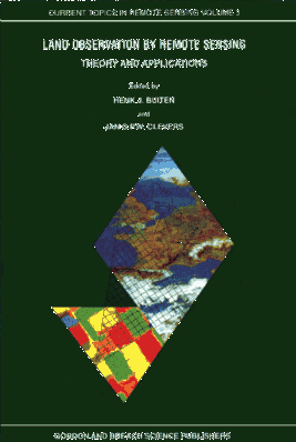
this course the book "Land Observation by Remote sensing, theory and
applications" of Buiten H.J. and Clevers J.P.G.W. (eds), 1993, published by Gordon
and Breach Science Publishers, ISBN 2-88124-940-X, or the Dutch edition of 1990, only
available as syllabus under university store number CM 06191809. During the lectures
reference will be made to this textbook.
Questions concerning the theory that is been dealt with can be forwarded to Dr. Jan
Clevers at the Laboratory of Geo-Information Science and remote Sensing of Wageningen
University in The Netherlands,
E-mail: jan.clevers@staff.girs.wag-ur.nl
May 2000 |
 |