
Home | Docs / Data | Interactive Map | NCRST
Interactive map of road spectra examples
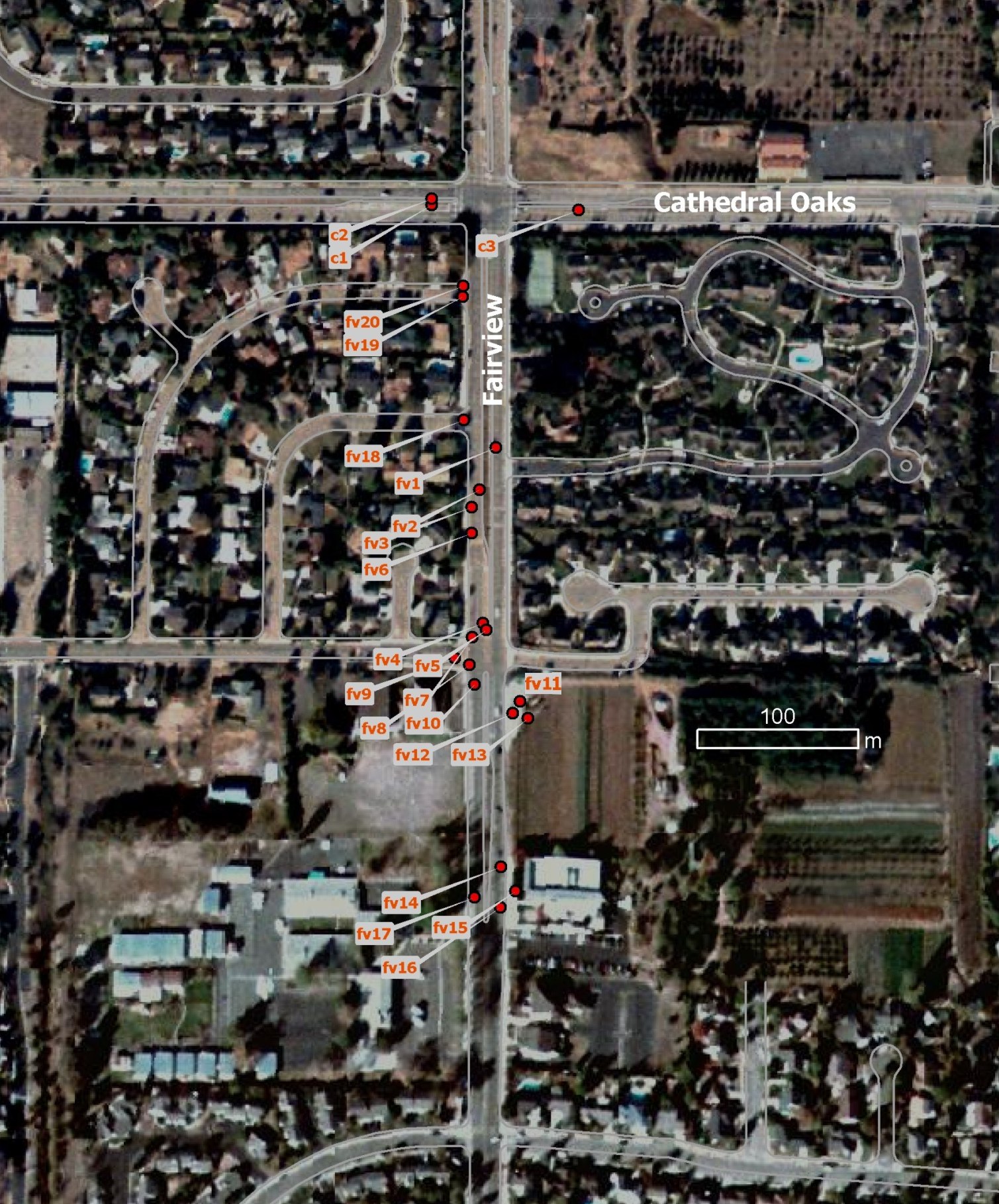
This interactive map helps to explore the Santa Barbara Asphalt Road Spectral Library. Click on the sample locations in the map to see the spectra and visual examples of the various road surfaces. The names of the spectra are conform with the name in the spectral library that can be download here. Documentation on interpretation and understanding asphalt road spectra can be found here.
Access to other examples of the Santa Barbara spectra urban library.
by Martin Herold and Jon Schurke, NCRST, University of California Santa Barbara, June 2004
Information presented on this website is considered public information (unless otherwise noted) and may be distributed or copied for research and educational purposes. Reprint and publication of the spectral information and use of other materials like text (byline) or photo/images requires appropriate credit and permission.